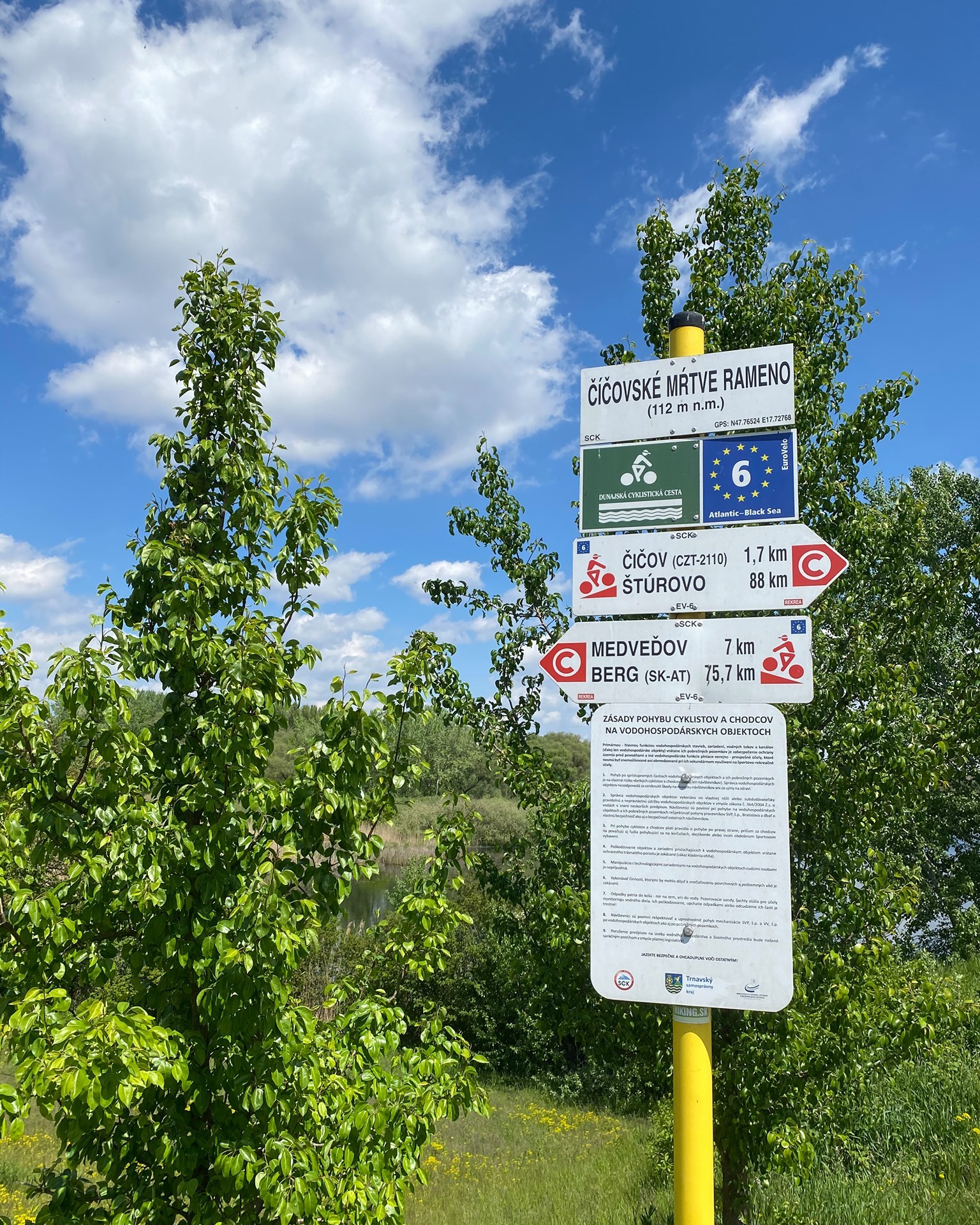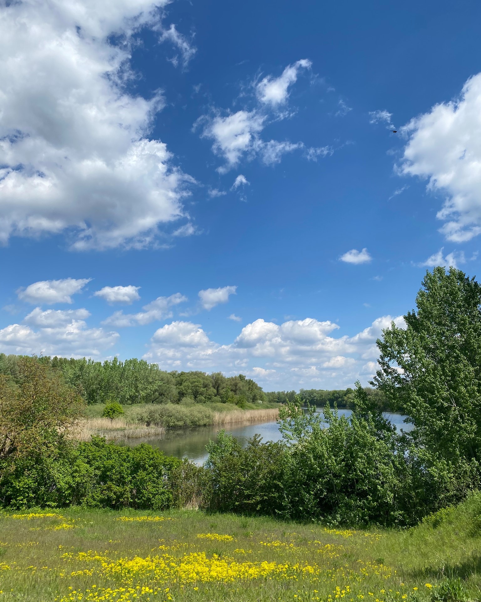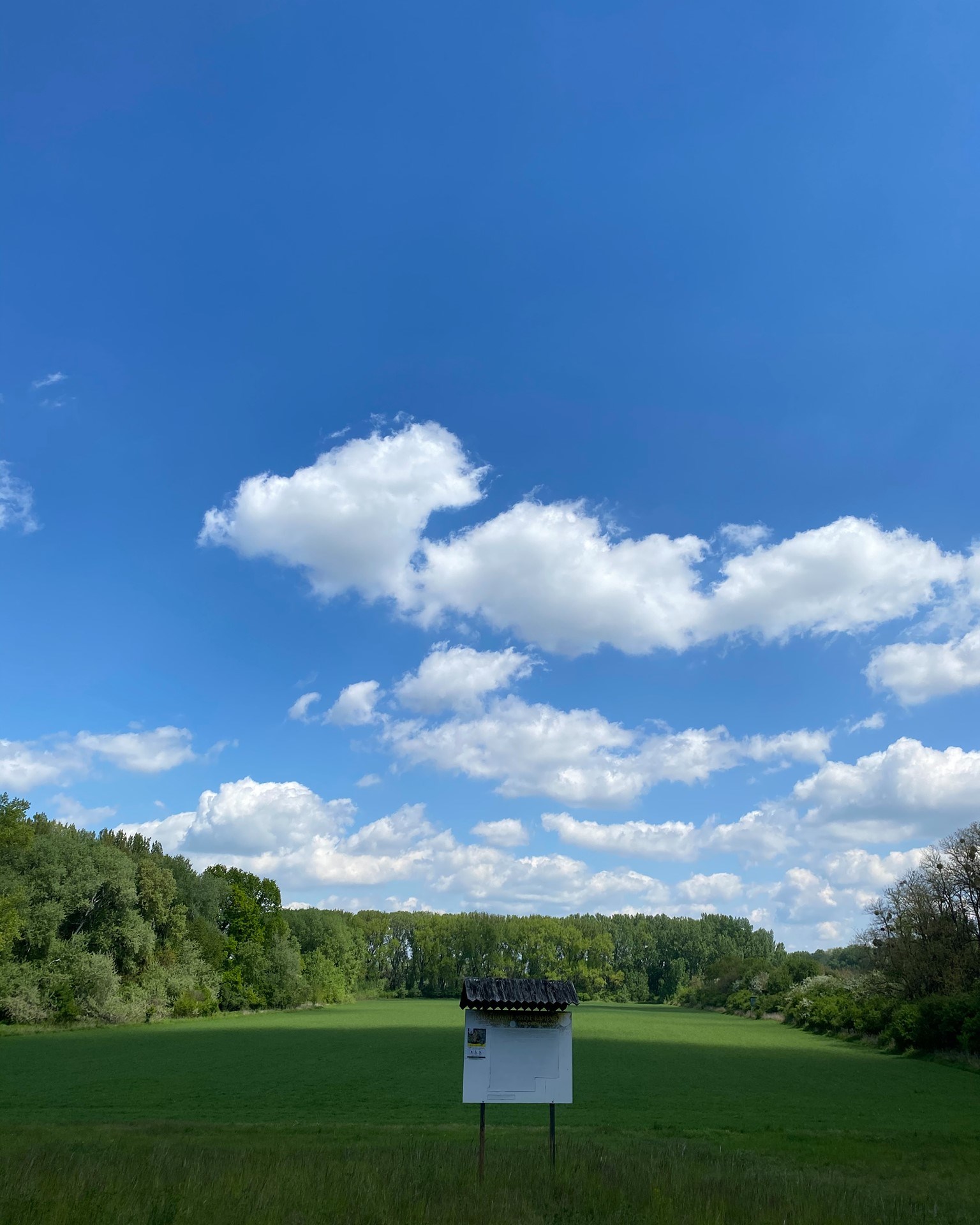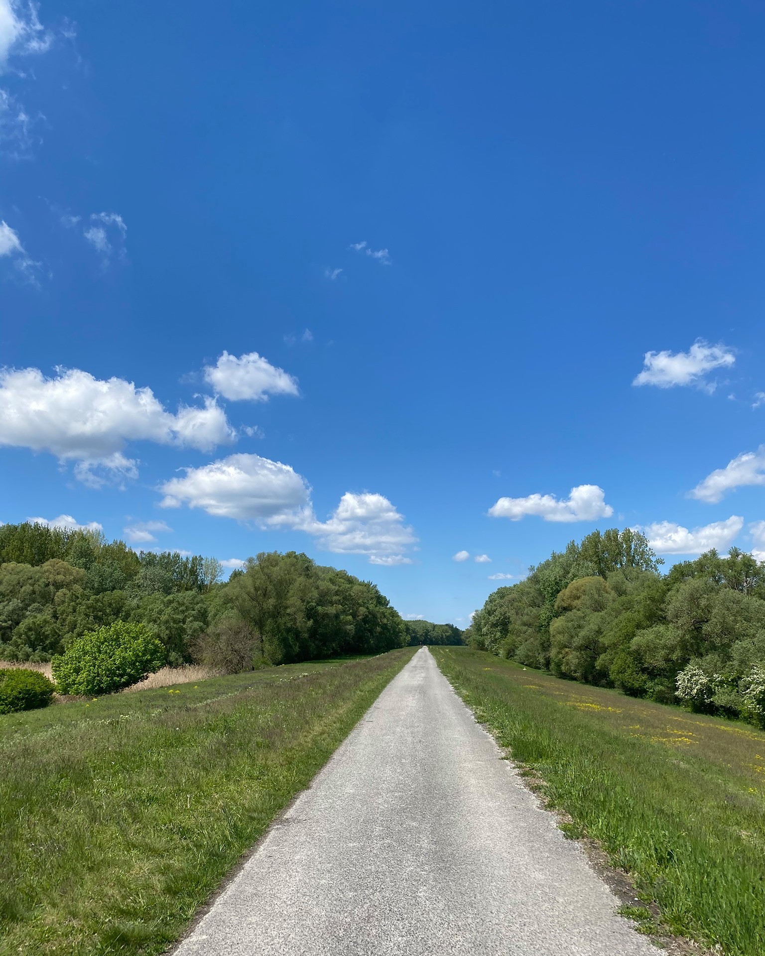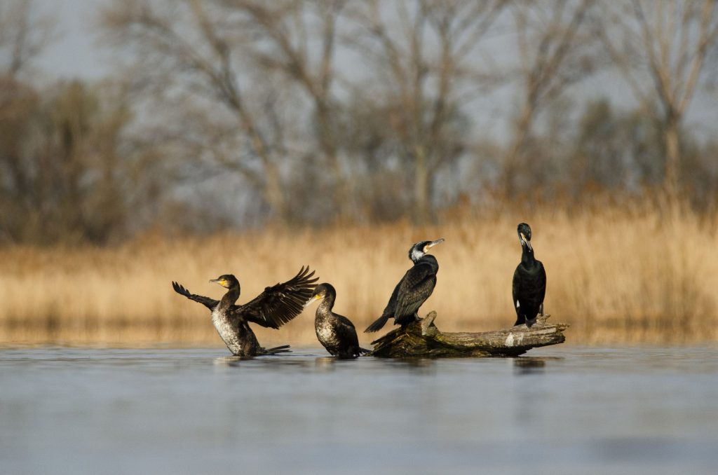
A crescent-shaped arm located west of Číčov, a small village along the Danube. It was formed during the flood in 1899 when the main river channel breached its dike. As compensation for the enormous economic damage, a very valuable habitat was created. The natural reserve is part of the Protected Landscape Area of the Danube Floodplains. With its flora and fauna, it is one of the most renowned and valuable protected areas not only on the Žitný ostrov but also in Central Europe. It is one of the few wetlands preserved in its original state in the region, serving as an open textbook for biologists, a true gem of the Žitný ostrov. The water level is determined by the Danube, with its water seeping in from underground. Nearly 350 protected and endangered plant species live in and around the water. The fauna is no less rich and important, including 255 species of invertebrates and 185 species of vertebrates (of which 107 are bird species). The dark mudfish, once one of the most widespread fish species, is currently one of the most endangered species on the Žitný ostrov. The reserve is surrounded by willow-poplar forests. A 6 km long educational trail has been created for visitors, accessible from Číčov and Kľúčovec. On the southern side of the area, a major Danube cycling route runs through four countries. Access to the area is prohibited during the bird nesting period (from March 1 to July 15), but outside this time, only pedestrian movement along marked trails is permitted.
Galéria